The Earth has five major wind zones: (1) polar easterlies, (2) westerlies, (3) horse latitudes, (4) trade winds, and (5) doldrums.
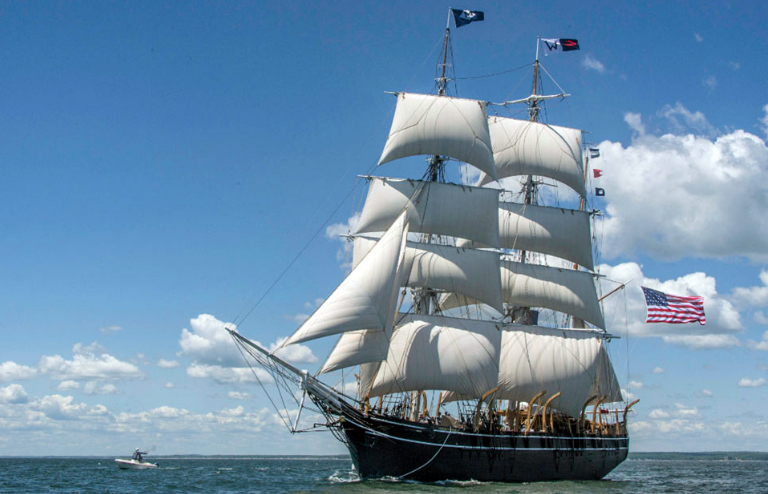
According to the National Oceanic and Atmospheric Association (NOAA): “Early commerce to the Americas relied on the trade winds —the prevailing easterly winds that circle the Earth near the equator. Known to sailors around the world, the trade winds and ocean currents helped early sailing ships from European and African ports make their journeys to the Americas. Likewise, the Trade Winds also drove sailing vessels from the Americas toward Asia. Even now, commercial ships use Trade Winds and currents the winds produce to hasten oceanic voyages.
Between about 30°N and 30°S of the equator, in a region called the horse latitudes, Earth’s rotation causes air to slant toward the equator in a southwesterly direction in the northern hemisphere, and in a northwesterly direction in the southern hemisphere. This is called the Coriolis Effect, which in combination with an area of high pressure, causes the prevailing Trade Winds to move from east to west on both sides of the equator across this 60° belt.
As the wind blows to about 5°N and 5°S of the equator, both air and ocean currents come to a halt in a band of hot dry air. This 10° belt around Earth’s midsection is called the Inter-Tropical Convergence Zone (ITCZ), more commonly known as the doldrums. Intense solar heat in the doldrums warms and moistens the Trade Winds, thrusting air upwards into the atmosphere like a hot air balloon. As air rises, it cools, causing persistent bands of showers and storms in the tropics and rainforests. Rising air masses move toward the poles, and then sink back toward Earth’s surface near the horse latitudes, which are known for calm winds and little precipitation. The sinking air triggers the Trade Winds, completing the cycle.”
Trade Winds blow in the tropics between 30°N and 30°S of the equator. Hence, they pick up moisture and bring heavy rainfall on the eastern sides of the tropical islands. Trade Winds are any of the constant easterly winds that dominate most of the tropics and subtropics throughout the world, making Trade Winds also referred to as Tropical Easterlies. The Trade Winds generally blow from east to west. In the northern hemisphere, Trade Winds cool and descend near 30°N. The descending air blows from the northeast to southwest, and back toward the equator. In the southern hemisphere, Trade Winds blow from the southeast to the northwest, and descend near 30°S. This is the Coriolis Effect, as mentioned earlier.
In normal non-El Niño conditions, Trade Winds blow in a westerly direction along the equator. These winds pile up warm surface water in the western Pacific, so the sea surface is as much as 18 inches higher in the western Pacific than the eastern Pacific.
Trade Winds, El Niño, and La Niña. Over the Pacific Ocean, the chain of winds known as the Walker Circulation exists in a wind-sea interaction. A large warm body of water heats the air in the western Pacific. The air expands, rises, and carries moist air, which produces large amounts of rainfall near the Philippines. The risen air moves eastward and sinks near the Americas. The air completes the cycle by moving westward to replace the rising air near the Philippines. This final segment of the Walker Circulation is the Trade Wind, which periodically decreases during the El Niño season, and increases during La Niña season. El Niño happens in warmer surface waters in the eastern equatorial Pacific, while La Niña happens in colder surface oceans.
This fluctuation occurs every 2-8 years, called the El Niño Southern Oscillation (ENSO). El Niño is caused by the warming of sea surface temperature in the Pacific, and can affect air and sea currents. This results in reduced rainfall that can lead to dry spells, severe droughts or stronger typhoons. La Niña is caused by a build-up of cooler waters in the tropical Pacific between the Tropics of Cancer and Capricorn. Stronger Trade Winds and ocean currents bring this cold water to the surface, called an Upwelling. This can result in either intense storms or drought. The Pacific northwest gets much wetter; the Pacific northeast gets very cold.
PAGASA says El Niño is expected to last in the Philippines until June 2019, suggesting a slight delay of the onset of rainy season, threatening water supply reliability for Metro Manila. “Our climate is now getting hotter and dryer due to the ongoing El Niño,” says Flaviana D. Hilario, PAGASA deputy administrator. “The air temperatures are now increasing as we approach the dry season, and impacts of El Niño are expected to be severe.”
